Construction is underway on new improvements to Augusta Quarry
The Augusta Avenue entrance, along with access to the Quarry Lake, is closed. Please respect the closure and stay clear of construction activities. The historic earthworks, as well as the Harold Lambert Overlook, remain open via the 3000 Fort Dickerson Rd entrance. View Augusta Quarry Phase II renderings.
Fort Dickerson Park
An interactive Civil War Fort and Lake within Knoxville’s Urban Wilderness
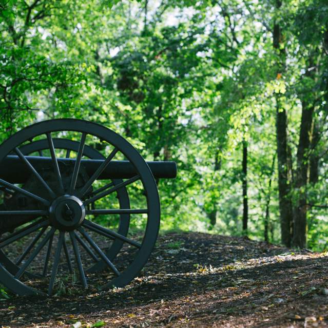
Fort Dickerson, one of the best-preserved earthen forts from the Civil War era, is nestled in a spectacular city park featuring a pristine quarry lake and more than four miles of multi-use natural trails. There are two shelters for enjoying a picnic after walking the interactive trail around the fort, which includes three authentic replica cannons.
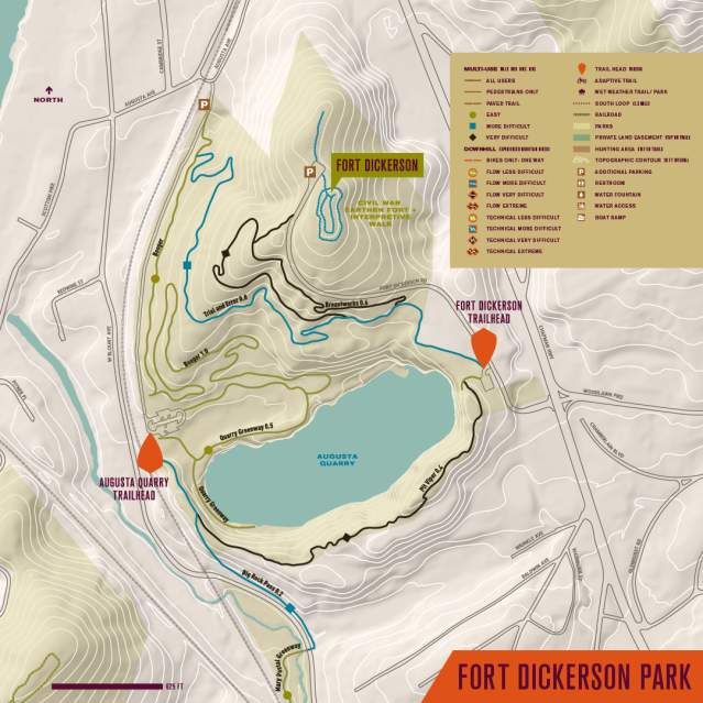
There are two parking areas at Fort Dickerson. The upper entrance off Chapman Highway is closest to the Fort. The lower entrance at Augusta Avenue provides easy access to the quarry lake, where swimming is permitted.
Entrance:
Park Size: 85 acres
Greenway: 0.5 mile (one-way)
Surface: crushed gravel
Natural Trail: 4 miles
Type: singletrack
Difficulty: easy to moderate
Hours: dawn till dusk
Features: Leashed dogs, hiking, trail running, mountain biking, trails, Greenway, Swimming, Paddling


![]()
![]()
![]()
Harold Lambert Overlook:
Trailhead Parking: 3000 Fort Dickerson Road
Directions: Take I–40 to the James White Parkway, exit 389 and travel south. Cross the South Knoxville Bridge and take the 1st exit heading west off the ramp onto Sevier Ave. Continue straight on E Blount Ave and turn left on Chapman Highway. Turn right on Fort Dickerson Rd which will end at the park.
Augusta Avenue:
Trailhead Parking: 550 Augusta Quarry
Directions: Take I–40 to exit 389, Hall of Fame Dr and head southbound. Continue straight and turn right on Hill Ave, then left on Gay St. Cross the bridge and turn right onto Blount Ave. Cross Chapman Highway to continue on Blount Ave. Turn left on Augusta St which ends at the gravel parking lot. Users can park at this first parking area or continue on the gravel road to the quarry access parking area.
Trail Map
Virtual Tour


